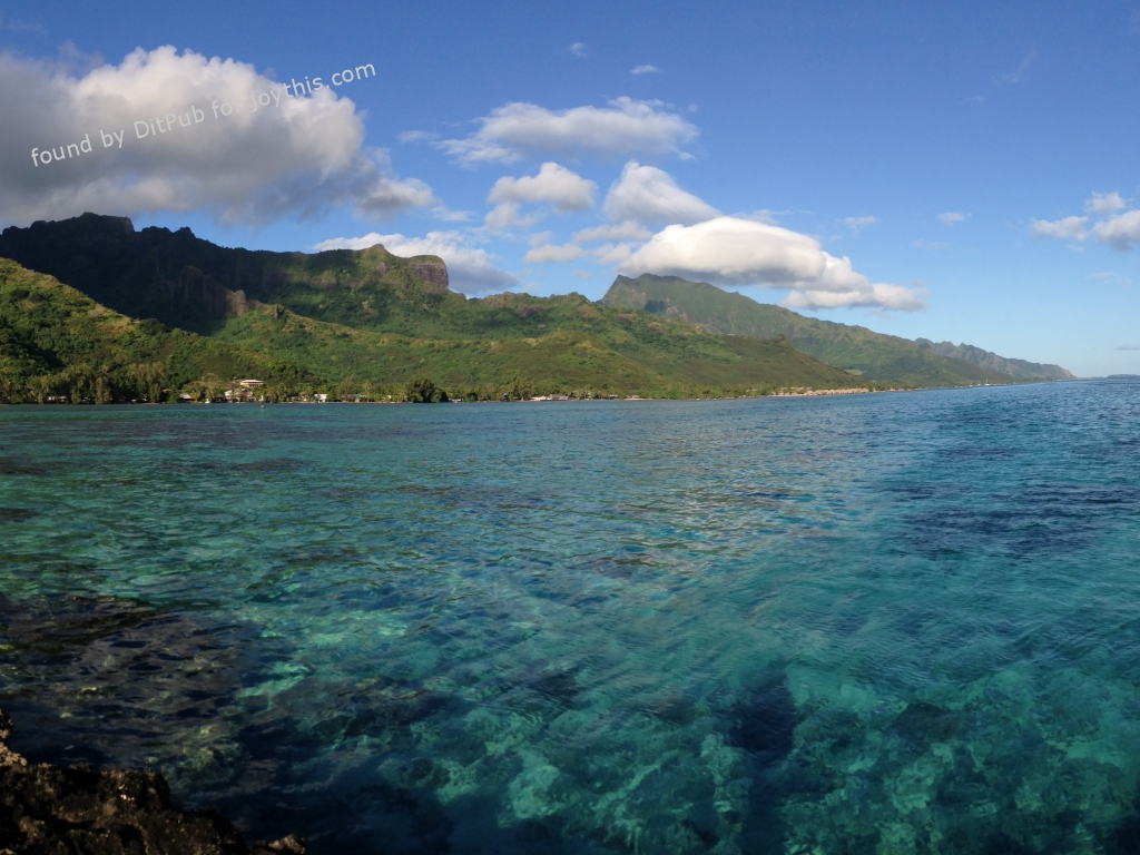
Panorama of Moorea, an island near Tahiti. Taken with my phone. [OC][3264×2448]
Picture found by the Ditpub “Beautiful World” searcher.
Original was/is available from http://i.imgur.com/eLpRSfm.jpg
Here are some definitions that might clarify something 🙂
A panorama (formed from Greek πᾶν “all” + ὅραμα “sight”), is any wide-angle view or representation of a physical space, whether in painting, drawing, photography, film, seismic images or a three-dimensional model.
Mo’orea (Tahitian pronunciation: \ˌmō-ō-ˈrā-ä, ˈmō-ō-ˌrā-\) is a high island in French Polynesia, one of the Windward Islands, part of the Society Islands, 17 kilometres (11 mi) northwest of Tahiti.
An island /ˈaɪlənd/ or isle /ˈaɪl/ is any piece of sub-continental land that is surrounded by water. Very small islands such as emergent land features on atolls can be called islets, skerries, cays or keys.
Tahiti (/təˈhiːti/; French pronunciation: [taˌiti]) is the largest island in the Windward group of French Polynesia; this overseas collectivity of the French Republic is sometimes referred to as an overseas country.
Published by DitPub on 2016-01-04 7:35:02, under the category “Beautiful World”
DitPub is a for-learning-&-fun-bot by Artur Marques